Navigating using a map and compass is an essential skill for those venturing into the great outdoors, whether it’s hiking, camping, or even just exploring new areas. By understanding the fundamental principles of orienteering, you gain the ability to confidently navigate through unfamiliar territories and find your way back to safety. In this article, we will explore the step-by-step process of using a map and compass effectively, helping you become proficient in the art of navigation. So, let’s dive into the world of maps and compasses and equip you with the skills needed to confidently and successfully navigate your way through any terrain.
Understanding the Basics of Navigation
Navigation is a crucial skill for outdoor enthusiasts, hikers, and adventurers. It allows you to confidently explore unfamiliar terrains, plan routes, and find your way back to safety. While there are many modern tools available for navigation, such as GPS devices and smartphone apps, learning to navigate using a map and compass is essential. These traditional tools have stood the test of time and remain reliable even in remote areas with no access to technology.
Why Learn to Navigate with a Map and Compass
While modern technology offers convenience, it is not foolproof. Battery life, signal loss, and technical malfunctions can occur when relying solely on technology for navigation. By learning to navigate with a map and compass, you gain a valuable set of skills that can mitigate these risks. Additionally, using a map and compass allows you to have a deeper understanding of your surroundings, enhancing your overall experience in the great outdoors.
The Role of Maps and Compasses in Navigation
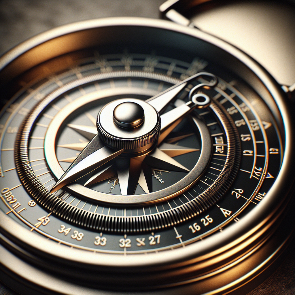
Maps are representations of the Earth’s surface and provide essential information about the landscape, including topography, landmarks, water bodies, and trails. They help you visualize your route and plan your journey effectively. A compass, on the other hand, is a navigational instrument that utilizes the Earth’s magnetic field to determine direction. It consists of a magnetic needle and a dial with cardinal directions, allowing you to orient yourself in relation to North. By combining the information from a map and a compass, you can accurately determine your location, plot routes, and navigate through different terrains.
Benefits of Map and Compass Navigation
Mastering map and compass navigation offers numerous benefits. Firstly, it enhances your self-reliance and self-confidence in the outdoors, allowing you to explore new areas independently. Secondly, it develops your problem-solving and critical thinking skills, as navigation often requires analyzing various factors and making informed decisions. Additionally, map and compass navigation provides a backup method in case modern technology fails. This makes it an invaluable skill, especially when venturing into remote or challenging environments. Finally, navigating with a map and compass allows you to have a deeper connection with nature, as it requires you to observe and understand your surroundings more closely.
Gathering the Right Tools
To navigate effectively using a map and compass, it is crucial to have the right tools at hand. Let’s explore the essential tools you need to gather before embarking on any adventure.
Choosing the Right Map
Selecting a suitable map is crucial for reliable navigation. The ideal map should cover the area you plan to explore in sufficient detail. Look for topographic maps that provide information on terrain features such as mountains, valleys, rivers, and forests. These maps often use contour lines to represent elevation, which helps you understand the steepness of a particular area. Additionally, ensure the map is up-to-date, as trails, roads, and landmarks can change over time. It’s also worth considering a waterproof or laminated map, as they offer increased durability in outdoor conditions.
Selecting a Compass
When choosing a compass, opt for a reliable and high-quality model. There are several types of compasses available, including baseplate compasses, lensatic compasses, and thumb compasses. Baseplate compasses are commonly used and are suitable for most outdoor activities. They feature a transparent baseplate with rulers, scales, and a rotating dial. Consider a compass with adjustable declination, as this allows you to compensate for the difference between magnetic North and true North in a specific location. Look for a compass that feels comfortable in your hand and has clear markings for ease of use.
Other Essential Tools for Navigation
In addition to a map and compass, there are a few other tools that can greatly enhance your navigation skills. A pencil or waterproof pen is essential for marking your route, tracking your progress, and noting important points of interest on your map. A ruler or straightedge can help you draw straight lines and measure distances accurately. A magnifying glass or reading glasses can aid in reading fine details on the map, especially for those with vision impairments. Finally, consider carrying a GPS device or smartphone with a navigation app as a backup, but remember not to solely rely on them.
Orientation and Measurements
Before you can start navigating with a map and compass, developing a solid understanding of orientation and measurements is crucial. Let’s explore the key concepts you need to grasp.
Understanding Compass Orientations
A compass is designed to help you determine directions by aligning it with the Earth’s magnetic field. The most important orientation to understand is North. The compass needle always points to magnetic North, which is different from true North. True North is the direction towards the North Pole, while magnetic North is the direction indicated by a compass needle. To work with a map effectively, you need to orient it to true North. This can be achieved by aligning the map’s North-South grid lines with the compass needle.
Taking Accurate Measurements
Measurements are essential for navigating accurately using a map and compass. The two primary measurements you need to take are the bearing and the distance. A bearing is the angle between North and your desired direction of travel. It is measured in degrees using the compass dial or bezel. Distance on a map is typically represented by a scale, which indicates how much the distance on the map represents in the real world. By combining accurate bearings and distances, you can plot your intended route, estimate travel times, and identify specific landmarks along the way.
Locating Yourself on the Map
To navigate effectively, you must be able to locate yourself accurately on the map. This process is known as triangulation. By using visible landmarks and aligning them with the map, you can narrow down your location to a specific area. The more landmarks you can identify and triangularly reference, the more accurate your location will be. Using a compass, take bearings to landmarks that you can both see and identify on the map. By drawing lines along these bearings and where they intersect, you can pinpoint your approximate location on the map.
Using the Compass for Navigation
Once you have a solid grasp of orientation and measurements, you can start using the compass for navigation. Let’s explore the key techniques involved.
Setting the Map and Compass to North
Before you begin navigating, it’s important to align your map and compass to true North. Place the compass on the map and rotate the compass housing until the magnetic needle aligns with the North-South grid lines on the map. Once the compass housing is correctly aligned, ensure that the map is oriented to match the compass. This ensures that your map is in the correct position and that all measurements and bearings you take align with the map’s features.
Using Bearings to Determine Directions
Bearings are vital for selecting the correct direction when navigating with a compass and map. To take a bearing, rotate the compass housing until the desired direction aligns with the compass’s North-South grid lines. Read the corresponding bearing on the compass dial or bezel. Once you have taken the bearing, ensure that you maintain a steady hold on the compass and orient your body towards that direction of travel. By following the bearing, you can confidently navigate through unfamiliar terrains and stay on track.
Adjusting for Magnetic Declination
Magnetic declination refers to the angle between true North and magnetic North at a specific location. It varies depending on your geographic position and can significantly affect navigation accuracy. To compensate for magnetic declination, adjust the compass bezel or housing accordingly. Some compasses have a built-in adjustable declination feature, while others require manual adjustments. By correctly accounting for magnetic declination, you can ensure that your compass bearings align with the map’s features, providing accurate navigation guidance.
Map Reading and Interpretation
To navigate effectively with a map and compass, it is crucial to understand map symbols, legends, and interpret the information they provide. Let’s explore these concepts in detail.
Understanding Map Symbols and Legends
Map symbols are graphical representations of features such as roads, trails, buildings, vegetation, and water bodies. They provide essential information about the landscape and help you interpret the map accurately. Map legends, also known as map keys, explain the meaning of these symbols and provide additional context. It’s crucial to familiarize yourself with common map symbols and legends to understand the map fully and make informed navigation decisions.
Identifying Landmarks and Features
Landmarks and features on a map serve as reference points during navigation. These can include mountain peaks, rivers, lakes, buildings, or any distinct geographic feature. By being able to identify these landmarks on the map, you can quickly locate yourself and track your progress. Pay attention to prominent features that are easy to locate both on the map and in the field. This will help you navigate more confidently and accurately.
Estimating Distance and Scale
Understanding the scale of a map and estimating distances accurately is essential for effective navigation. Maps often include a scale bar to indicate the relationship between distances on the map and actual distances on the ground. By utilizing the scale bar, you can estimate how far you need to travel and how long the journey may take. Additionally, using pacing techniques or measuring distances with a ruler or compass can help you estimate distances more precisely. Regular practice enhances your ability to estimate distances and improves overall navigation accuracy.
Navigating with Map Grids
Map grids, also known as coordinate systems, provide a method for locating specific points on a map with greater precision. Let’s explore the principles of coordinate systems and how to utilize them for navigation.
Understanding Coordinate Systems
Coordinate systems divide a map into a grid of horizontal lines (latitude) and vertical lines (longitude). These lines are represented by coordinates, allowing you to locate specific points accurately. The most commonly used coordinate system is the Universal Transverse Mercator (UTM) grid, which divides the world into zones and assigns specific coordinates to each location within a zone. By being familiar with coordinate systems like UTM, you can communicate your location effectively and navigate with higher precision.
Using Grid Lines for Precision
Grid lines on a map are invaluable for precise navigation. These lines intersect at regular intervals, creating a grid that covers the entire map. By utilizing the grid lines, you can locate your position or any other point with utmost accuracy. When taking bearings or identifying landmarks, it’s often helpful to reference their approximate location within the grid. This allows for easier triangulation and reduces location ambiguity when navigating.
Plotting and Following a Route
Plotting your route on a map is a vital step in effective navigation. It involves identifying major waypoints or checkpoints along your intended path and connecting them with a line. The line represents your planned route of travel. By utilizing the grid lines, landmarks, and compass bearings, you can accurately plot the route on the map. While navigating, periodically check your position on the map to ensure you are following the planned route. Adjustments can be made as necessary, considering your surroundings and any unforeseen obstacles.
Techniques for Route Planning
Route planning is an essential aspect of navigation, allowing you to efficiently and safely reach your destination. Consider the following techniques when planning your routes.
Identifying Waypoints and Checkpoints
Waypoints and checkpoints are significant markers along your route that help you stay on track. Waypoints are specific locations you aim to reach, while checkpoints are intermediary locations that act as progress indicators. These points are typically chosen based on terrain features, intersections, or changes in direction. By strategically selecting waypoints and checkpoints, you create a structured route that enhances navigation efficiency and allows you to monitor your progress effectively.
Avoiding Obstacles and Difficult Terrain
When planning a route, it’s crucial to consider potential obstacles and challenging terrain features. Identify areas on the map that may pose difficulties, such as steep slopes, dense vegetation, water crossings, or hazardous cliffs. Plot your route in a way that avoids these obstacles, opting for safer and more manageable alternatives. By carefully assessing the topography and anticipating obstacles, you can navigate more smoothly, saving time and ensuring your safety.
Creating a Route on the Map
Once you have identified your waypoints, checkpoints, and avoided potential obstacles, it’s time to create a detailed route on the map. Using the map’s grid lines, compass bearings, and measurements, draw a clear line connecting all the waypoints and checkpoints. Consider including additional information, such as landmarks, water sources, and potential rest areas. Make sure the route reflects your intended path accurately and aligns with your navigation goals. A well-planned route optimizes your navigation, minimizing potential mistakes and keeping you on track.
Taking Compass Bearings
Compass bearings play a crucial role in navigation, allowing you to determine the correct direction of travel. Let’s explore the key steps involved in taking compass bearings accurately.
Setting a Bearing on the Compass
Before taking a compass bearing, ensure that the compass is correctly set to the desired direction of travel. Rotate the compass housing until the desired direction aligns with the North-South grid lines on the compass. Once set, hold the compass steady, ensuring it remains level and inclined away from any metal objects or magnetic interference. Remember to account for magnetic declination, adjusting the compass if necessary.
Correctly Sighting a Target
To take an accurate compass bearing, correctly sighting a target is crucial. Locate a recognizable landmark or any object that you can align with the desired direction of travel. Hold the compass level, anchor your thumb on the baseplate, and align the sighting notch on the compass housing with the target. Ensure that the compass is parallel to the ground and at eye level. Take a moment to verify that you have aligned the compass correctly with the target before proceeding.
Using the Bearing to Navigate
Once you have taken the compass bearing, it’s time to use it for navigation. Keep the compass level, hold it firmly, and orient your body towards the direction indicated by the compass needle. Maintain a steady pace and continuously monitor your bearing, making any necessary adjustments to stay on track. Periodically cross-reference your bearing with the map to ensure that you are following the intended route. Remember to account for changes in terrain, obstacles, or any other factors that may require adjustments to the bearing.
Navigation in Challenging Conditions
Navigating in challenging conditions requires additional skills and techniques to ensure safety and successful navigation. Let’s explore some techniques useful in low visibility, sloped terrains, and nighttime navigation.
Navigating in Low Visibility
In low visibility conditions, such as fog, heavy rain, or dense forests, traditional navigation techniques may become challenging. In such situations, it’s important to rely on alternative navigation methods. Dead reckoning involves estimating your position based on previously known locations and distances traveled. This technique requires careful monitoring of terrain features and pacing. Another method is handrailing, where you navigate alongside a prominent linear feature such as a trail, stream, or fence. These techniques require constant vigilance and adaptability to changing conditions.
Accounting for Slopes and Elevation
Navigating on sloped terrains requires special attention to changes in elevation. Steep slopes can alter your sense of direction and make it difficult to stay on course. When planning your route, consider contour lines on the map to identify potential elevation changes. Utilize the prominent terrain features, such as ridge lines or prominent peaks, to maintain a sense of direction and avoid disorientation. Pay close attention to your compass readings and use them in conjunction with the contour lines to navigate safely in hilly or mountainous areas.
Navigation Techniques for Nighttime
Navigating at night presents unique challenges, including limited visibility and reduced depth perception. To navigate effectively in darkness, use a headlamp or flashlight with a red lens to preserve night vision. Plan your route carefully and familiarize yourself with landmarks that may be visible in low light conditions, such as reflective markers or distinct silhouettes. When taking compass bearings, make sure your light source does not interfere with the compass needle. Exercise caution, maintain a slow and deliberate pace, and rely on alternative navigation techniques if required.
Practicing and Improving Navigation Skills
Navigation is a skill that requires practice and continuous improvement. Consider the following tips to enhance your navigation abilities.
Choosing Beginner-friendly Routes
When starting out, choose routes that are suitable for your skill level. Opt for established trails or easy-to-navigate terrains until you become more comfortable with map and compass techniques. As you gain experience and confidence, gradually venture into more challenging areas. This progressive approach allows you to build a strong foundation and refine your navigation skills over time.
Participating in Orienteering Activities
Orienteering is a popular outdoor sport that combines navigation skills with physical activity. Participating in orienteering activities, such as orienteering races or treasure hunts, can greatly improve your navigation abilities. These events provide opportunities to practice various navigation techniques, compete against others, and discover new areas. Orienteering activities also expose you to diverse terrains and navigation challenges, helping you become a more well-rounded navigator.
Continuously Refining Navigation Technique
Navigation is an ongoing learning process, and there is always room for improvement. Reflect on your navigation experiences, identify areas for improvement, and seek opportunities to refine your techniques. Learn from others who have expertise in navigation, whether through workshops, courses, or online resources. By continuously refining your navigation technique, you can navigate more confidently and enjoy a safer and more fulfilling outdoor experience.
In conclusion, understanding how to navigate with a map and compass is a valuable skill that empowers you to explore the outdoors with confidence. By mastering the basics of navigation, gathering the necessary tools, and continuously practicing and refining your skills, you can navigate off the beaten path, plan challenging routes, and enjoy the natural world to its fullest. Embrace the world of map and compass navigation and embark on unforgettable adventures in the great outdoors.